

Imagery
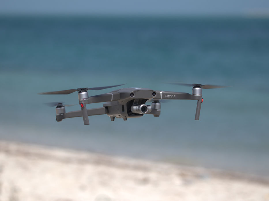
NEA offers a range of services using industry leading unmanned aerial vehicles (UAVs) to collect data in a fast and effective manner. Our fully licensed and trained operators deliver professional results including orthomosaic mapping and floral/faunal counts, that provide accurate representations of an area and its floral and faunal composition.
NEA's team of multi-skilled field operators and equipment allows us to capture footage in often remote areas, whether underwater or on land.
With the use of our own Remotely Operated Underwater Vehicles (ROV’s) and Drop-Down Video systems (DDV’s), we are able to deliver detailed qualitative and quantitative ecological analyses. Meanwhile, our camera traps can be used to survey terrestrial habitats or wildlife in their natural habitat in a non-intrusive manner.

NEA offers a range of services using industry leading unmanned aerial vehicles (UAVs) to collect data in a fast and effective manner. Our fully licensed and trained operators deliver professional results including orthomosaic mapping and floral/faunal counts, that provide accurate representations of an area and its floral and faunal composition.
With the use of our own Remotely Operated Underwater Vehicles (ROV’s) and Drop-Down Video systems (DDV’s), we are able to deliver detailed qualitative and quantitative ecological analyses. Meanwhile, our camera traps can be used to survey terrestrial habitats or wildlife in their natural habitat in a non-intrusive manner.
NEA's team of multi-skilled field operators and equipment allows us to capture footage in often remote areas, whether underwater or on land.
Imagery
© NEA 2024
Nautica Environmental Associates LLC
Send us Feedback


